Geoinformation Systems of Public Participation as a Tool for Participation Planning
Abstract
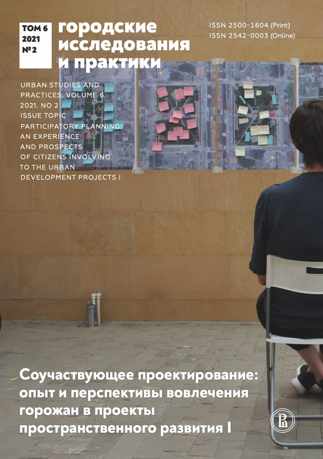
This review article analyzes the geoinformation system of public participation (GISPP) as a tool for urban environment mapping, an obligatory part of the participatory planning process. It gives a brief history of GISPP, and presents a GISPP classification of three functional types — for urban environment research, for public hearings on urban projects, and for the participatory design of urban spaces. Examples of foreign and Russian GISPP of those functional orientations are given. The capability of GISPP from the perspectives of sociological and spatial analysis is discussed. The issues and possibilities for the application of GISPP to a participatory mapping of everyday places and daily routes, emotionally significant places, and places for preservation and renewing are illustrated using examples identified via the Mapsurvey tool in Saint-Petersburg in 2020.
Downloads
References
Конюхов А.М., Ненько А. Е., Курилова М.А., Подкорытова М.И. (2019) Геоинформационная система общественного участия (Mapsurvey). Программа для ЭВМ, РИД № 2019667622 от 26.12.2019.
Санофф Г. (2015) Соучаствующее проектирование. Практики общественного участия в формировании среды больших и малых городов. Вологда: Проектная группа 8.
Ненько А.Е., Курилова М.А., Подкорытова М.И. (2020) Анализ эмоционального восприятия городского пространства и развитие «Умного города»//Международный журнал открытых информационных технологий. Т. 8. № 11. С. 128–136.
Arnstein S.R. (1969) A Ladder of Citizen Participation//Journal of **the** American Institute of Planning. Vol. 35. № 4. P. 216–224.
Atzmanstorfer K., Resi R., Eitzinger A., Izurieta X. (2014) The Geocitizen-approach: Community-Based Spatial Planning—An Ecuadorian Case Study//Cartography and geographic information science. Vol.41. No. 3. P. 248–259.
Bonaiuto M., Fornara F., Bonnes M. (2003) Indexes of Perceived Residential Environment Quality and Neighbourhood Attachment in Urban Environments: A Confirmation Study on the City of Rome//Landscape and Urban Planning. Vol. 65. No. 1–2. P. 41–52.
Brown G. (2012a) An Empirical Evaluation of the Spatial Accuracy of Public Participation GIS (PPGIS) Data//Applied geography. Vol. 34. P. 289–294.
Brown G. (2012b) Public participation GIS (PPGIS) for Regional and Environmental Planning: Reflections on a Decade of Empirical Research//Journal of the Urban & Regional Information Systems Association. Vol. 24. No. 2. P. 7–18.
Brown G., Kyttä M. (2014) Key Issues and Research Priorities for Public Participation GIS (PPGIS): A Synthesis Based on Empirical Research//Applied Geography. Vol. 46. P. 122–136.
Brown G., Kyttä M. (2018) Key Issues and Priorities in Participatory Mapping: Toward Integration or Increased Specialization?//Applied Geography. Vol. 95. P. 1–8.
Brown G., Fagerholm N. (2015) Empirical PPGIS/PGIS Mapping of Ecosystem Services: A Review and Evaluation//Ecosystem Services. Vol. 13. P. 119–133.
Bugs G., Kyttä M. (2019) Public Perception Spatial Data from the PPGIS Jaguarão Experiment//Civic Engagement and Politics: Concepts, Methodologies, Tools, and Applications. IGI Global. P. 177–198.
Duc K. N., Vu T.T., Ban Y. (2014) Ushahidi and Sahana Eden Open-Source Platforms to Assist Disaster Relief: Geospatial Components and Capabilities//Geoinformation for Informed Decisions. Cham: Springer. P. 163–174.
Dunn C.E. (2007) Participatory GIS—a People’s GIS?//Progress in Human Geography. Vol. 31. No. 5. P. 616–637.
Goodchild M.F. (2007) Citizens as Sensors: The World of Volunteered Geography//GeoJournal. Vol. 69. No. 4. P. 211–221.
Gottwald S., Laatikainen T., Kyttä M. (2016) Exploring the Usability of PPGIS among Older Adults: Challenges and Opportunities//International Journal of Geographical Information Science. Vol. 39. No. 12. P. 2321–2338.
Gutierrez W. (2019) Mapurolas: Cartographies of Communication, Coordination and Action—The Cases of Ushahidi and InfoAmazonia//GeoJournal. Vol. 84. No. 1. P. 101–120.
Jankowski P., Forss K., Czepkiewicz M., Saarikoski H., Kahila M. (2021) Assessing Impacts of PPGIS on Urban Land Use Planning: Evidence from Finland and Poland//European Planning Studies. Режим доступа: https://doi.org/10.1080/09654313.2021.1882393 (дата обращения: 11.04.2021).
Kahila M., Kyttä M. (2009) SoftGIS as a Bridge-Builder in Collaborative Urban Planning//Planning Support Systems Best Practice and New Methods, Dordrecht: Springer. P. 396–411.
Kahila-Tani M., Broberg A., Kyttä M., Tyger T. (2016) Let the Citizens Map—Public Participation GIS as a Planning Support System in **the** Helsinki Master Plan Process//Planning Practice & Research. Vol. 1. No. 2. P. 195–214.
Kingston R. (2002) The Role of E-Government and Public Participation in the Planning Process. Режим доступа: https://www.researchgate.net/publication/228363234_The_role_of_e-government_and_public_participation_in_the_planning_process (дата обращения: 11.04.2021).
Maptionnaire (2018) Singapore-ETH Future Cities Laboratory Designs New Waterfront Neighbourhood with Citizens. Режим доступа: https://participationfactory.com/best-participation-practices/people-centric-participation-tool (дата обращения: 11.04.2021).
Oliver M., Schoeppe S., Mavoa S., Duncan S., Kelly P., Donovan P., Kyttä M. (2016) Children's Geographies for Activity and Play: An Overview of Measurement Approaches//Play, Recreation, Health and Wellbeing. Vol. 9, P. 1-20.
O'Neil K.M., Penrod S.D. (2001) Methodological Variables in Web-Based Research That May Affect Results: Sample Type, Monetary Incentives, and Personal Information//Behavior Research Methods, Instruments, & Computers. Vol. 33, No. 2, P. 226-233.
OSMstats (2021) Режим доступа: https://osm-stats.neis-one.org/?item=countries&country=Russia (дата обращения: 23.02.2021).
Pánek J., Paszto V. (2017) Emotional Mapping in Local Neighbourhood Planning: Case Study of Příbram, Czech Republic//International Journal of E-Planning Research. Vol. 6. No. 1, P. 1-22.
Pocewicz A., Nielsen-Pincus M., Brown G., Schnitzer R. (2012) An Evaluation of Internet Versus Paper-based Methods for Public Participation Geographic Information Systems (PPGIS)//Transactions in GIS. Vol. 16. No. 1, P. 39-53.
Pyyry N., Tani S. (2015) Young People's Play with Urban Public Spaces: Geographies of Hanging out//Geographies of Children and Young People. Vol. 9; Play, Recreation, Health and Wellbeing. Springer, P. 1-20.
Rall E., Hansen R., Paubelt S. (2018) The Added Value of Public Participation GIS (PPGIS) for Urban Green Infrastructure Planning//Urban Forestry and Urban Greening. Vol. 40. P. 264-274.
Rantanen H., Kahila M. (2009) The SoftGIS Approach to Local Knowledge//Journal of Environmental Management. Vol. 90. No. 6. P. 1981-1990.
Sieber R. (2006) Public Participation Geographic Information Systems: A Literature Review and Framework//Annals of The Association of American Geographers. Vol. 96. No. 3, P. 491-507.
Social Pinpoint (2021) Cedar Valley Arboretum & Botanic Gardens Master Plan. Режим доступа: https://confluence.mysocialpinpoint.com/cedar-valley-arboretum-and-botanic-gardens/magp (дата обращения: 11.04.2021).
Te Awa Kairangi / Hutt River Project. Режим доступа: https://www.socialpinpoint.com/project/te-awa-riverlink-stages/ (дата обращения: 11.04.2021).
Tulloch D. (2018) Public Participation GIS (PPGIS)//Encyclopedia of Geographic Information Science/K. Kemp (ed.). Thousand Oaks. CA: SAGE Publications, Inc. P. 352-355.
Yigitcanlar T. (2004) Constructing Online Collaborative Environmental Decision Making Systems. Режим доступа: https://www.**semanticscholar**.org/paper/Constructing-Online-Collaborative-Environmental-Yigitcanlar/d18e9e6aa65e797d4c7bbbfae879a9ed2d3c540 (дата обращения: 28.11.2020).